Floodplain Management Program Overview
June 19-24, 2022 will be the 50th Anniversary of Hurricane Agnes. The website linked below was created by a multi-jurisdictional group including a number of Federal, state, and local partners. Carroll County is proud to be part of the development and outreach team for this anniversary. The website details Agnes the weather event, Mitigation projects since Agnes, Flood Preparedness efforts, and Service Improvements over the last fifty years. Carroll County is proud to be highlighted as part of the Mitigation section of the website. The website also lists upcoming events being held to commemorate Agnes fifty years later.
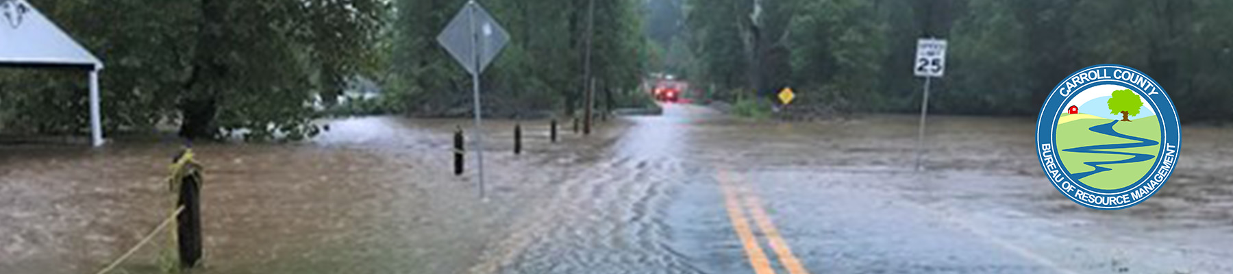
Carroll County has also created a website to remember the impact Hurricane Agnes had on its citizens, businesses, infrastructure, and everyday life.
The impact of Hurricane Agnes on Carroll County, MD
In 2004, the Carroll County Board of Commissioners approved the creation of a Floodplain Management Program, adopted a Floodplain Management Chapter to the Carroll County Code, and approved a Floodplain Management Specialist Position. The purpose of Carroll County’s Floodplain Management Program is to protect human life and health, minimize property damage, encourage appropriate construction practices to minimize future damage, and to protect water supply, sanitary sewage disposal, and natural drainage.
In 2005, Carroll County achieved Good Standing in the National Flood Insurance Program (NFIP), which is a program that allows residents to purchase federally supported flood insurance policies. In October of 2007, Carroll County was accepted into FEMA’s Community Rating System (CRS) with a CRS rating of 8, which means that residents with eligible flood policies in unincorporated areas of Carroll County received a 10% reduction on insurance premiums. In 2018, Carroll County was upgraded to a CRS Class 7 which allows residents to receive a 15% reduction on flood insurance premiums. Click here to see progress on mitigation projects as part of our Hazard Mitigation Plan (CRS Activity 510).
On October 2, 2015 new FEMA Flood Insurance Rate Maps became effective for Carroll County. View the map of FEMA floodplains in Carroll County
As part of the Development Review process, all applicable developments must address Carroll County’s Floodplain Management Code (Chapter 153). We prohibit new construction in the floodplain, both FEMA and non-FEMA, and prohibit fill in the floodplain. According to the Code, proposed developments are required to convey floodplain easements to the County Commissioners, which serves to protect and preserve the natural characteristics of floodplains, as well as make property owners aware of their location. Restricted activities prohibited by the easements are soil disturbance; storing or dumping of materials; composting or broadcast spreading of yard waste; storing, maintaining, or operating motorized vehicles; housing or otherwise maintaining domestic animals; and burning of vegetation.
Code changes are currently proposed that would further reduce flood insurance premiums for County residents while adding additional protection for environmentally sensitive areas. The proposed code changes can be viewed here.